For individuals seeking access to high-resolution satellite imagery, numerous options are available for convenient and free downloads. Explore the following key sources to download global satellite images effortlessly:
Copernicus Open Access Hub
The Copernicus Open Access Hub (Sentinels Scientific Data Hub) facilitates free and open access to Sentinel-1, Sentinel-2, and Sentinel-5P products. Sentinel data is accessible through Copernicus Data and Information Access Services (DIAS) on various platforms. Find more information on Copernicus DIAS.
GEOSS Portal
The GEOSS Portal, operated by the European Space Agency (ESA), offers a map-based online interface for downloading earth observation data globally.
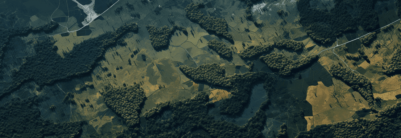
Worldview - NASA
NASA Worldview provides an interactive user interface to search for high-resolution and global satellite images. Explore thematic images related to forest fires, air quality, flood monitoring, and more.
European Space Imaging
European Space Imaging is a leading provider of Very High Resolution (VHR) satellite images for Europe, North Africa, and the CIS countries.
GloVis - USGS Global Visualization Viewer
Access remote sensing data through the USGS Global Visualization Viewer (GloVis), available since 2001. The platform was redesigned in 2017 to adapt to changing Internet technologies, providing users with easy-to-use navigation tools for instant viewing and downloading of scenes.
GeoStore - Airbus Defence and Space
The GeoStore, operated by AIRBUS, allows users to order high-resolution and current satellite images.
EOWEB GeoPortal - DLR
The EOWEB GeoPortal (EGP) by DLR is a multi-mission web portal providing interactive access to the DLR earth observation database.